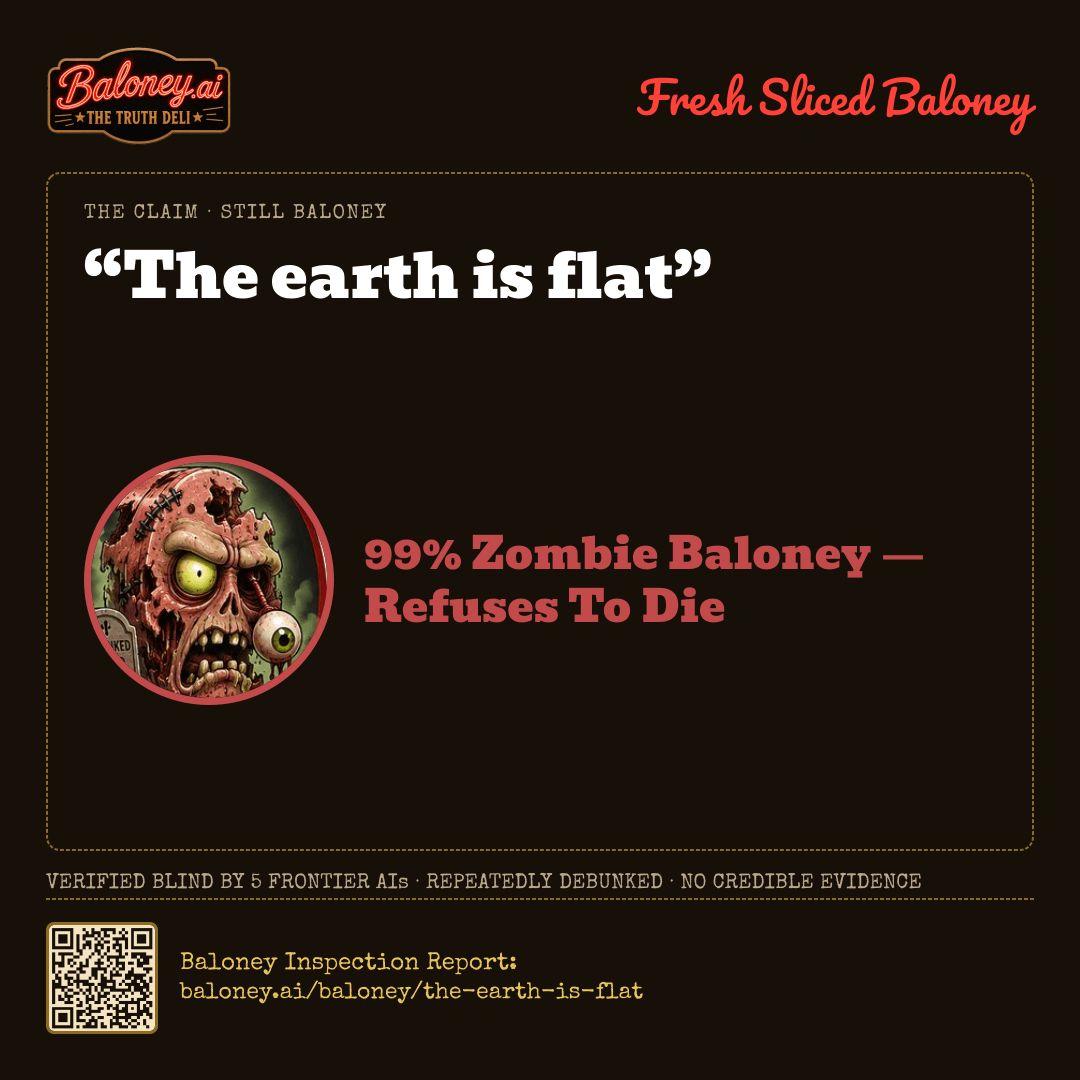
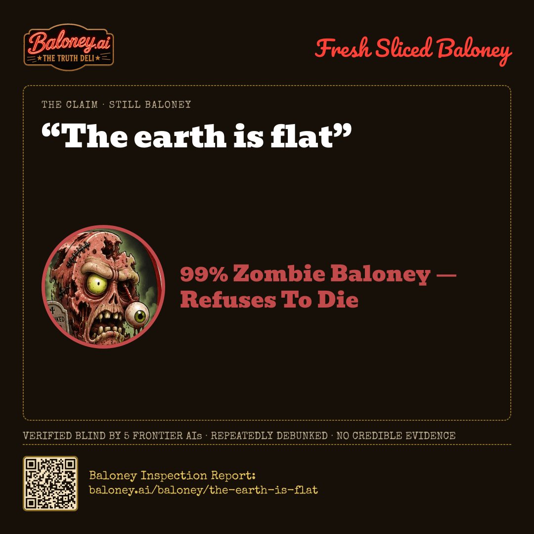
“The earth is flat”99% Zombie Baloney — Refuses To DieVerified blind by 5 frontier AIs · Baloney Inspection Report: baloney.ai/baloney/the-earth-is-flat
The Rating Card
The correction — what is actually true
The Baloney Sampler
The Earth is not flat. Five lab reports found that a level-looking horizon, still water, and short canal sight-lines are local-scale and refraction effects, not a global plane. Remaining arguments are distrust of space photographs, not measurements that predict eclipses, seasons, or satellite orbits.
That conclusion rests on NOAA geodesy describing an oblate ellipsoid and on NASA full-disk imagery, planetary radii, and Apollo-era whole-Earth photographs. Lunar-eclipse shadows, different stars by latitude, hull-down ships, great-circle flights, GPS, and Eratosthenes’ ancient circumference measurement all match a rotating sphere and fail on a flat map.
Other ways to slice it — phrasings that might have changed the rating
“The Earth's surface appears locally flat over everyday distances.” Every lab treated the unaided-eye horizon and still water as genuine local-scale effects that do not establish global geometry.
“The Earth is an oblate spheroid, slightly wider at the equator than at the poles.” NOAA and NASA sources cited in the reports give that measured figure, which the evaluators treated as the opposite of a flat plane.
“The Earth is not a perfect sphere.” Reports stated this technical qualification of the geoid is true but does not support calling Earth flat.
Written from the panel’s reports by xAI · grok-4.6. Nothing here changed the score.
21:49:03SCORING MODEL V2 — MEDIAN OF 5 COUNTED LAB SCORES: 99, 99, 99, 98, 99 → 99. ZOMBIE RULE: THE PRIMARY MASTER FLAGS A LONG DEBUNK HISTORY, THE BLIND MASTER SCORES 99, THE COUNTED MEDIAN IS 99 — PUBLISHED AS 99.✓
21:49:03SOURCE RULE — LABS CITED 24 SOURCES: 0 DISCARDED FOR HAVING NO URL, 3 DISCARDED AS DEAD LINKS (404/410), 3 COULD NOT BE OPENED BY US AND ARE MARKED UNVERIFIED.✓
21:49:03SOURCE RULE — PRIMARY MASTER RULED ON 17 SOURCES: 0 DISCARDED FOR HAVING NO URL, 0 DISCARDED AS DEAD LINKS, 3 MARKED UNVERIFIED, 14 VERIFIED.✓
How This One Was Sliced
Station 1 · Blind Inspection — Five Graders, Zero Peeking
Each lab scored the claim independently, without seeing the others. Open a breakdown for its evidence, its sources, and how sure it was.
Anthropic · EQUAL WEIGHT · 39.6s
claude-opus-5
99%BALONEY
ROUND-1 BREAKDOWN
Evidence offered for the claim
At human scale the local surface of the Earth appears essentially flat: the curvature of a ~6,371 km radius sphere drops only about 8 cm over 1 km, so everyday visual experience and short-range surveying are consistent with a flat plane. This is why flat-Earth intuition persists, but it is an artifact of scale, not evidence of global geometry.
Flat-Earth advocates cite apparent anomalies such as distant objects visible over water, long-range photographs, and 'no felt motion.' These are explained by atmospheric refraction, the small angular size of curvature at short distances, and the fact that constant velocity produces no sensation of motion — they do not survive quantitative analysis.
No other substantive evidence supports the claim; the arguments offered in its favor are misinterpretations of observations that the spherical model predicts correctly.
Evidence against the claim
Direct imaging: thousands of whole-Earth photographs from Apollo (e.g., the 1972 'Blue Marble'), and continuous full-disk imagery from NASA's DSCOVR/EPIC camera at the Sun–Earth L1 point, show a rotating sphere with a visible terminator; independent imagery exists from ESA, JAXA, ISRO, Roscosmos, CNSA and commercial operators.
Eratosthenes measured Earth's circumference around 240 BCE from differing solar shadow angles at Alexandria and Syene, getting within a few percent of the modern value — a result that is impossible on a flat plane with a distant Sun and requires an implausible ad hoc nearby-Sun geometry to mimic.
Geodesy and satellite navigation: GPS, GLONASS and Galileo compute positions using an oblate-spheroid reference model (WGS 84). Meter-level positioning worldwide would fail immediately if the underlying shape model were wrong.
Circumnavigation and flight/shipping routes: great-circle paths (e.g., polar routes between North America and Asia) are shortest only on a sphere, and flight times match spherical distances, not any flat-Earth map projection.
Astronomical observations: different constellations are visible from different latitudes, Polaris's altitude equals the observer's latitude, the Southern Cross is invisible from mid-northern latitudes, and time zones/sunrise offsets follow from a rotating sphere.
Lunar eclipses always project a round Earth shadow on the Moon regardless of the Earth's orientation — only a sphere casts a circular shadow from every direction.
Measured gravity behaves as expected for a spherical mass: g varies slightly with latitude and altitude as predicted by the oblate spheroid, and the Foucault pendulum and Coriolis deflection demonstrate rotation about an axis.
Flat-Earth models make no successful quantitative predictions and cannot account for eclipse timing, satellite orbits, seasons, or the existence of the 24-hour Antarctic summer sun; the claim has been repeatedly and exhaustively debunked yet continues to circulate.
How sure this lab was
99/100 — the lab’s own confidence in the score above, not a second reading of the claim.
Local, everyday observations can make Earth seem flat: over short distances the curvature is very small, so roads, fields, lakes, and the sea horizon can appear level to an unaided observer.
Some people cite the horizon appearing flat or water surfaces being 'level' as support, but these are observations of local scale and do not distinguish a flat Earth from a very large curved Earth.
Evidence against the claim
Government geodesy and ocean-science sources describe Earth as an oblate spheroid/ellipsoid, not a plane; its equatorial diameter is slightly larger than its polar diameter.
Space-based observation directly shows Earth as a globe, including full-disk imagery from Apollo missions and modern weather/observing satellites.
Earth’s measurable curvature explains phenomena such as ships disappearing hull-first over the horizon, different star visibility by latitude, and the ability to circumnavigate in many directions.
Time zones, seasons, satellite orbits, GPS, eclipses, and global navigation all depend on and repeatedly confirm a roughly spherical Earth; a flat-Earth model does not coherently account for these observations.
The claim has been repeatedly debunked by scientific and fact-checking sources and is contradicted by centuries of measurements, navigation, astronomy, and modern satellite data.
How sure this lab was
99/100 — the lab’s own confidence in the score above, not a second reading of the claim.
From a localized human vantage point at ground level, the Earth's horizon appears flat to the naked eye, leading to intuitive sensory assumptions.
Water in localized, relatively small basins appears to rest entirely flat; proponents erroneously scale this observation up to conclude that global oceans must also be on a flat plane.
Certain historical line-of-sight experiments over short distances (such as the Bedford Level experiment) yielded results that seemed to show a lack of curvature, though these observations were actually the result of atmospheric refraction.
Evidence against the claim
Decades of direct photographic and video evidence from satellites, space probes, the International Space Station, and Apollo missions definitively depict Earth as a sphere (specifically an oblate spheroid).
Ships traversing the ocean disappear hull-first over the horizon, a visual phenomenon caused by the curvature of the Earth.
During a lunar eclipse, the shadow cast by the Earth on the Moon is consistently curved, an observation originally noted by ancient Greek astronomers as proof of a spherical planet.
Observers in the Northern and Southern Hemispheres see entirely different sets of stars and constellations, which is only possible if they are looking outward from different angles on a sphere.
The physical laws of gravity dictate that large, massive objects pull matter toward their center of mass, naturally forcing planets to form into spherical shapes.
The Coriolis effect, the way prevailing winds and ocean currents curve, is a direct result of the Earth's spherical shape and its rotation.
Global navigation networks, commercial aviation flight paths, and GPS technology are entirely predicated on a spherical Earth model and function with pinpoint accuracy globally.
How sure this lab was
100/100 — the lab’s own confidence in the score above, not a second reading of the claim.
The claim is not supported by reliable empirical evidence. The strongest commonly cited point in its favor is that the ground and horizon can appear locally flat because Earth is extremely large relative to human viewing distances; this is an observation about local appearance, not evidence that the planet is globally flat.
Some flat-Earth proponents dispute photographs from space and argue that curvature is not obvious in ordinary photographs. These objections challenge particular observations but do not provide a coherent, quantitatively predictive model that explains geodesy, satellite navigation, global time zones, eclipses, and long-distance travel better than the oblate-spheroid model.
Evidence against the claim
NOAA states that Earth is an irregularly shaped ellipsoid: slightly wider at the equator because of rotation, and it describes geodesy as the measurement of Earth's size and shape.[1]
NOAA's geodesy tutorial describes Earth as nearly spherical, slightly flattened at the poles and bulging at the equator, and notes that this model matches measured observations.[2]
NASA documents photographic and observational evidence of Earth's curvature, including high-altitude balloon photography and the curvature visible from elevated viewpoints.[3]
Modern geodesy uses gravity measurements, satellite positioning, radio telescopes, and long-range lasers to measure Earth's shape and surface to high precision; these systems are consistent with an oblate spheroid or geoid, not a flat plane.[4][5]
The observed curved shadow of Earth during lunar eclipses, changing star visibility with latitude, circumnavigation, global time zones, and satellite orbits are mutually consistent with a roughly spherical Earth and incompatible with a flat Earth without ad hoc explanations.
The technically precise conclusion is that Earth is not a perfect sphere: it is approximately an oblate spheroid with an irregular geoid. That qualification does not support the statement that Earth is flat.
How sure this lab was
99/100 — the lab’s own confidence in the score above, not a second reading of the claim.
The ground and horizon look locally flat to the unaided eye because Earth's radius is ~6,371 km, so curvature is not obvious over everyday distances.
Flat-Earth advocates cite the 1838 Bedford Level canal experiment and similar amateur sight-lines over water; those appearances are produced by atmospheric refraction and limited baselines, not a planar Earth.
Remaining 'for' arguments are institutional-distrust claims (e.g., that space imagery is fabricated), not independent geometric or physical measurements.
Evidence against the claim
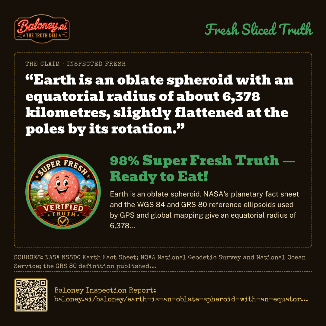
Satellite geodesy and NASA planetary data give an oblate spheroid: equatorial radius ~6378.1 km, polar radius ~6356.8 km, flattening ~1/298.3—incompatible with a disk.
Apollo, ISS, and operational weather/remote-sensing satellites continuously image a round Earth (e.g., Apollo 17 Blue Marble).
Lunar eclipses show a round Earth shadow; ships go hull-down on the horizon; visible constellations and solar elevation change with latitude; circumnavigation and time zones match a rotating sphere.
Eratosthenes measured Earth's circumference ~240 BCE from sun-angle differences; GNSS, satellite laser ranging, and gravity missions (GRACE/GOCE) recover the same ellipsoidal figure.
Navigation, GPS, the Foucault pendulum, and the Coriolis effect all require a spherical rotating Earth; a flat model cannot fit these observations together.
How sure this lab was
100/100 — the lab’s own confidence in the score above, not a second reading of the claim.
All five independent evaluators scored the statement 98 or 99 with 99–100 confidence. Evidence for the claim is only local visual appearance (horizon, water, short sight-lines) plus distrust of space imagery; every evaluator treated those as scale artifacts, refraction, or non-measurements, not a global geometry. Evidence against is mutually reinforcing: NOAA/NASA geodesy (oblate spheroid radii), full-disk space imagery, Eratosthenes, GNSS/WGS 84, lunar-eclipse shadows, latitude-dependent stars, circumnavigation, time zones, and rotation effects. Government geodesy and imaging sources were weighted most heavily; lower-reliability tertiary pages were not needed to reach the conclusion. The technically precise caveat that Earth is not a perfect sphere does not support flatness.
The five evaluators unanimously judged the claim false (scores 98, 99, 99, 99, 99). They agreed that local flat appearance is a scale effect, that geodesy and space imagery show an oblate spheroid, and that navigation, eclipses, and astronomy cannot be fit by a plane. They differed only in which confirming observations they foregrounded (Eratosthenes, GPS, Bedford Level, Coriolis, gravity missions) and in one 98 versus 99.
ZOMBIE FLAG: TRUE — DEBUNK HISTORY ON RECORD
Blind Validation Master · never saw the Primary’s work
claude-opus-5
99% BALONEY
All five evaluators converge on the same verdict with near-maximal confidence (recommended scores 98, 99, 99, 99, 99). The claim that the Earth is flat is contradicted by multiple independent, mutually reinforcing lines of evidence: satellite geodesy giving a measured oblate spheroid (equatorial radius ~6378.1 km, polar ~6356.8 km, flattening ~1/298.3), continuous full-disk imagery from Apollo, ISS, DSCOVR/EPIC and multiple national space agencies, Eratosthenes' circumference measurement from ~240 BCE, the always-circular Earth shadow during lunar eclipses, latitude-dependent star visibility and Polaris altitude, hull-down ship disappearance, great-circle flight routes and matching flight times, GNSS/WGS-84 positioning accuracy, GRACE/GOCE gravity missions, the Foucault pendulum and Coriolis deflection. The only 'evidence for' is the trivially explained local appearance of flatness at human scale (~8 cm drop per km) and refraction artifacts such as the Bedford Level experiment; no flat-Earth model makes successful quantitative predictions. This is not merely false but a textbook case of a claim that has been debunked repeatedly over millennia and still actively circulates, which places it squarely in the Zombie Baloney band rather than merely Radioactive Baloney. There is no wording nuance that rescues it — 'flat' is unambiguous and unambiguously wrong.
AGREEMENT TEST PASSED — BOTH MASTERS SCORED 99% · BLIND VALIDATION CONFIRMED THIS SCORE · NO RE-EVALUATION REQUIRED
Median of 5 counted lab scores: 99, 99, 99, 98, 99 → 99.
Zombie rule: the Primary Master flags a long debunk history, the Blind Master scores 99, the counted median is 99 — published as 99.
The Evidence
Evidence offered for the claim
Ground and horizon look locally flatDEBUNKED — Earth’s radius is about 6,371 km, so curvature drops only about 8 cm over 1 km; everyday visual experience and short-range surveying are consistent with a plane but are an artifact of scale, not global geometry.
Bedford Level and similar sight-linesDEBUNKED — The 1838 Bedford Level canal experiment and amateur sight-lines over water appeared to show no curvature because of atmospheric refraction and limited baselines, not a planar Earth.
Distant objects and ‘no felt motion’DEBUNKED — Objects seen over water, long-range photographs, and lack of felt motion are explained by refraction, the small angular size of curvature at short distances, and constant velocity producing no sensation of motion; they fail quantitative analysis.
Water in basins appears levelDEBUNKED — Water in localized basins looks flat, but scaling that observation to global oceans does not distinguish a flat Earth from a very large curved Earth.
Space photographs are fabricatedDEBUNKED — Institutional-distrust claims that space imagery is fabricated are not independent geometric or physical measurements and supply no coherent, quantitatively predictive flat-Earth model.
Evidence against the claim
Geodesy measures an oblate spheroid NOAA and NASA describe Earth as an irregularly shaped ellipsoid: equatorial radius about 6,378.1 km, polar radius about 6,356.8 km, flattening about 1/298.3, recovered by gravity measurements, satellite positioning, laser ranging, and missions such as GRACE/GOCE.
Direct imaging from space Apollo Blue Marble photographs, continuous full-disk imagery from DSCOVR/EPIC at L1, ISS and weather satellites, and independent imagery from other space agencies and commercial operators show a rotating sphere with a visible terminator.
Eratosthenes’ circumference Around 240 BCE Eratosthenes measured Earth’s circumference from differing solar shadow angles at Alexandria and Syene, within a few percent of the modern value—impossible on a flat plane with a distant Sun.
Satellite navigation requires a spheroid GPS, GLONASS and Galileo compute positions using the WGS 84 oblate-spheroid model; meter-level worldwide positioning would fail immediately if the underlying shape were a plane.
Astronomy, eclipses, and navigation A circular Earth shadow in every lunar eclipse, ships going hull-down, latitude-dependent constellations, Polaris altitude equaling latitude, circumnavigation and great-circle routes, time zones, the Foucault pendulum, and the Coriolis effect are mutually consistent with a rotating spheroid and incompatible with a flat model.
Sources · Reliability · Why Accepted or Discounted
ACCEPTED — NASA educational page on Earth’s shape, consistent with the agency’s geodesy and imaging record.
Every link was opened when this claim was inspected. A dead link was discarded before publication; “unverified” means the site refused our automated check and the link is the one the panel cited. A source without a URL was never kept.
“The earth is flat”99% Zombie Baloney — Refuses To DieVerified blind by 5 frontier AIs · Baloney Inspection Report: baloney.ai/baloney/the-earth-is-flat